Chandigarh
Background
Central Soil and Water Conservation Research and Training Institute, Research Centre, Chandigarh, was established on May 8, 1956 under the Ministry of Agriculture, Govt. of India. The administrative control of the Research Centre was transferred to the Indian Council of Agricultural Research with effect from October 1, 1967. Latter, it started functioning as a regional centre of the newly formed Central Soil and Water Conservation Research and Training Institute, Dehradun, with effect from April, 1974.
To carry out field demonstrations and conducting research, the centre has a Research Farm spread over 305 ha area which is located at 30o46/ N latitude and 76o57/ E longitude, at a distance of 8 Km from Chandigarh. Administrative office of the Research Centre is located at Chandigarh.
Climate
Average annual rainfall of the area represented by the Research Centre is 1100 mm. Over eighty per cent of the annual rainfall which is 904 mm with a CV of 27.9 per cent is received during south-west monsoon from June to September. About 165 mm of rainfall with a CV of 57.3 per cent is received during winter season, that is, November to March through western disturbance. The highest mean maximum and the lowest mean minimum temperatures are recorded as 39.5o C and 6.9o C during the months of June and January, respectively. Mean annual evaporation is 2000 mm.
Soils
The agricultural lands have loamy sand and sandy loam soils on the surface, tending to be slightly heavy in lower layers. Water holding capacity of soil is low. The soils are deep in general, having slope from 1 to 15 per cent. The pH ranges from 7.8 to 8.5 in agricultural fields and 6.0 to 7.5 in forest watersheds where the soils are silt clay. Inherent soil properties largely govern the extent of erosion in absence of adequate protective cover. There is lack of cohesion and heterogeneity in strata which causes land slides, slips and potholes, leading to release of vast amount of sediment. Due to low permeability of coarse textured soils, establishment of vegetation is a serious problem.
Mandate
- To develop package of practices for runoff and sediment control from denuded hills
- To evolve specifications of mechanical and vegetative measures for erosion control
- To carryout hydrological studies in terms of sediment and runoff discharge as a result of treatment of watersheds
- Identification and evaluation of different tree and grass species for rehabilitation of denuded hills, reducing erosion and increasing productivity of degraded land
- To develop suitable agronomic practices for increasing production under rainfed condition and supplemental irrigation from harvested rainwater and for reducing runoff and soil loss
- To develop model watershed projects for flood and drought control, augment ground water and provide supplemental irrigation to the crops
- To develop suitable methods of socio-economic evaluation and community participation in watershed projects
- Provide consultancy and collaborate with national and international institutions in the field of soil and water conservation
SCIENTISTS




Infrastructure
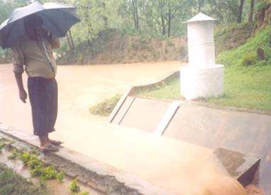 Research Farm (305 ha situated at Mansa Devi Complex, Distt. Panchkula, Haryana)
- Hydrological gauging stations
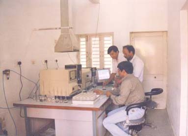
- Soil Science Laboratory (Equipped with AAS, Spectrophotometer, Soil compaction meter, etc)
- Soil Microbiological Laboratory (Equipped with compound microscope with digital camera, Multi-parameter kit, UV-visible spectrophotometer, CHN analyser etc)
- Library (around 2500 books and 30 journals are subscribed)
- Cartography laboratory
- Scientists’ Home, implement shade, museum
 Agricultural Research Information System (ARIS)
All the scientists, most of the technical officers and administrative staff have been provided with computers. Apart from this, there is a computer room which has the server with internet connectivity being distributed to all the other computers through LAN. LCD Projector available at the centre is being used in short course trainings, workshops and other meetings.
Research
Achievements
Participatory Watershed Management
Successfully demonstrated the concept of participatory watershed management at Sukhomajri, Nada, Bunga, Relmajra , Bhagawasi, Johranpur and Mandhala watersheds in the Shivalik region.
Sukhomajri
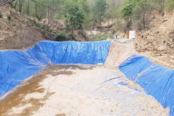
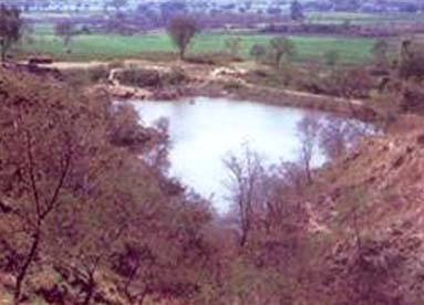 The Sukhomajri project was taken up to control/reduce sedimentation of Sukhna Lake of Chandigarh. Eighty five ha of badly eroded watershed was treated with soil and water conservation measures and raising four rainwater harvesting dams with ensured people’s participation.
The success of the project opened up new vistas of development in the Shivalik foothill region. Sukhomajri has shown that for any watershed management project, people’s participation must be ensured from the inception of the watershed management program.
 Relmajra
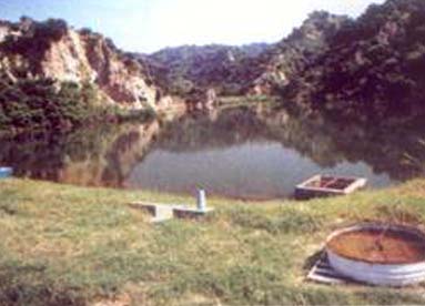
A 627 ha watershed with six flashy torrents was treated with number of bio-remedial measures and installation of 13.5 m high dam, which checked erosion and provided irrigation to 20 ha of agricultural land.
The success achieved in the programme confirmed the concept that watershed development should be based on the participatory approach involving user, planners and policy maker at all levels.
 Bunga
Bunga
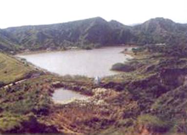
It is the biggest earthen dam constructed by the centre for rainwater harvesting and recycling.
A 155 ha forest catchment was treated and a water harvesting structure with the 60 ha-m storage to irrigate about 243 ha of land was made.
A Hill Resource Management Society was constituted to ensure people participation.
Nada
Construction of 3 water harvesting structures with a total capacity of 20 ha-m were constructed to irrigate about 43 ha of land, for increasing the economic returns from degraded land. Catchment was further rehabilitated with soil and conservation measures and plantation.
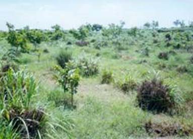 Bhagwasi
A wasteland watershed of 550 ha was selected for its treatment and development at Aganpur-Bhagwasi villages in district Patiala (Punjab). The project was implemented in people’s participation mode. Soil and water conservation activities, afforestration and crop improvement programmes were taken up. Treatment of the watershed has resulted in effective control of soil erosion, stabilization of gullies and increase in productivity.
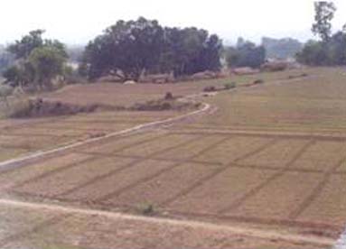 Johranpur
A model project on rainwater harvesting and management in a micro agricultural watershed of 20 ha in village Johranpur, Solan (HP) shows that after concentrating the rainwater of multi-directional sloping agricultural land into a pond the donor catchment can be irrigated with supplemental irrigation.
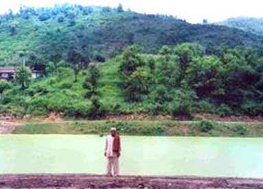 Mandhala
A 425 ha watershed selected at foothills to demonstrate the technology of sustainable water harvesting along with other components of watershed management has been taken up at Mandhala, Solan, Himachal Pradesh.
Plantation of aonla in marginal land and bamboo in choe beds along with training of choes with mechanical measures has been taken up extensively. Success achieved in short time demonstrates the viable and economical use of the natural resources in Shivalik foothills.
Kajiyana
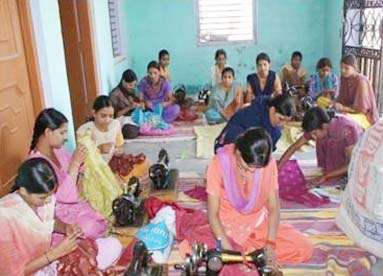
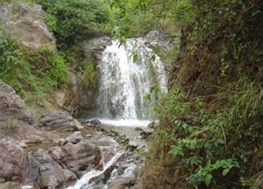 The watershed project at Kajiyana was taken up to develop it as model watershed under NWDPRA scheme of Ministry of Agriculture, Government of India, New Delhi. The watershed boundary encompasses five villages either in full or part. The four villages namely Janouli, Bhutali, Kajiyana and Dhattogran come under Janouli Panchayat while Nala Dakrog comes under Nala Belong Panchyat. A detailed watershed development plan was developed in participatory mode with active participation of villagers residing in the watershed. It comprised effective utilization of soil and water resources, checking land degradation, crop diversification, alternative land uses, integrated nutrient management and organic farming. Plenty of water is available through kuhl system for major portion of the year which is either going waste to drainage or lost in the conveyance. Water conveyance system was improved by repairing existing kuhl system and laying underground pipelines in the command of the watershed. Large numbers of demonstration were laid to enhance crop productivity through modern production technology, integrated nutrient management, organic farming and crop diversification. Livelihood of landless and women were secured through constitution of six Self Help Groups on carpet weaving, cloth and paper bag making, tailoring and embroidery and fodder preservation. Implementation of watershed development plan resulted in resource conservation and sustainable agricultural production.
Conservation Measures
Arable Lands
- Design specifications for mechanical soil conservation measures such as bunds, check dams and terraces have been standardized.
- Crop diversification through remunerative crops and cropping sequence in the agricultural watershed.
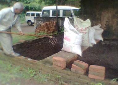
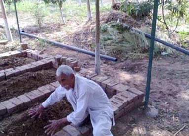
- Land levelling, terracing, bunding, interplot bunding and strip cropping reduced the soil erosion and increased productivity.
- Ridge and furrow method of sowing maize, which is the principal kharif crop of the region, was found to be most profitable. The same not only reduced the runoff and soil loss but also resulted in increase in the crop yield from 2.3 t/ha to 3.8 t/ha.
- Intercropping of groundnut and castor bean with maize were proved economically profitable for the region.
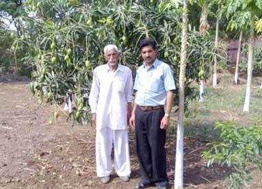
- Agroforestry and agro-hotriculture based cropping systems proved very economical for wasteland in the region.
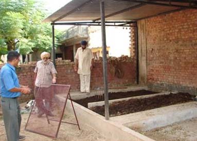
- Use of biofertilizers in conjunction with the fertilizers increased the yield of black and green gram.
Non arable Lands
- Arundo donax (Nada) and Saccharum munja (munj) have been found to be most effective in soil stabilization and torrent control.
- Successful reclamation of degraded hills could be achieved through munj, nada and napier along with contour trenches and check dams as bioengineering soil conservation measures as demonstrated in Relmajra project.
- Mechanical measures viz. gabion spurs (attracting and deflecting type), gabion retention walls and guide embankment could successfully control the meandering of the hilly torrent and centralize the flow of water. Deposition near the spur could protect the vulnerable torrent banks and reclaim choe affected areas.
Environmental impact
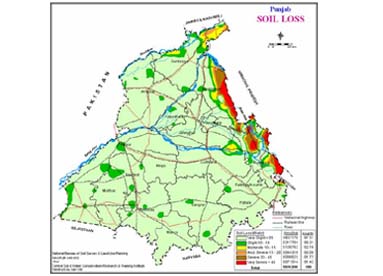
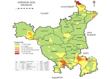
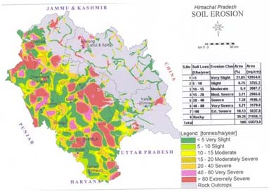
The experiments at the Research Farm and field demonstrations at the project sites brought out that soil conservation measures like check dams, contour trenches and plantations reduced the runoff from 30 per cent to less than 7 per cent of rainfall amount while the soil loss dropped down from 150 t/ha/year to as low as 1 t/ha/yr. Catchment treatment resulted in manifold increase in vegetation cover. The centre has developed soil erosion maps of Punjab, Haryana and Himachal Pradesh and also suggested suitable site specific soil and water conservation measures to check the soil erosion.
Socio-economic and Policy issues
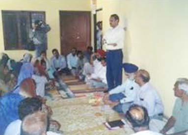 The research centre is engaged in socio-economic evaluations of watershed management projects and various soil and water conservation measures adopted. The development of watersheds in Shivaliks is highly economical as the B/C ratios ranged between 1.7 and 2.05 for the model watersheds developed by the Research Centre.
- It is proved through experimentation that agroforestry systems in the degraded lands of Shivaliks yields higher returns over the traditional farming being practiced by the people. In one such evaluation leucaena (for fuel) + leucaena (for fodder) and leucaena (for fuel) + napier grass provided the B/C ratios as 1.7 and 1.3 respectively against a B/C ratio of 1.1 provided with traditional farming system of sesamum + taramira.
- The research centre developed indices of adoption rate of improved technology in watershed projects.
- Work on community participation and gender issues was done by the research centre.
Training
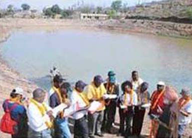
The training is being imparted to technical officers /staff, watershed committee members / members of watershed development team and the farmers. During the last 30 years since the Research Centre, Chandigarh became a part of newly created Central Soil and Water Conservation Research and Training Institute, Dehradun in 1974, training was imparted to 102 batches of officers, field functionaries and WTC members numbering two thousand. The trainings are being organized by the centre in the following fields
 Integrated watershed planning, management, monitoring and evaluation
- Water harvesting structures
- Soil and Water Conservation
- Hydrologic monitoring and drainage line treatment
- Participatory Watershed Management
- Rooftop rainwater harvesting
- Capacity building measures in watershed management for Senior level Officers
Faculty
The research centre has ten number of sanctioned scientific posts consisting of multi-disciplinaries specialities like, soil science, agronomy, engineering, forestry/horticulture and social sciences. The scientists are duly supported by more than 17 technical personnels in conducting research, short term training and consultancy programmes.
Collaboration
 HRD and Extension Activities
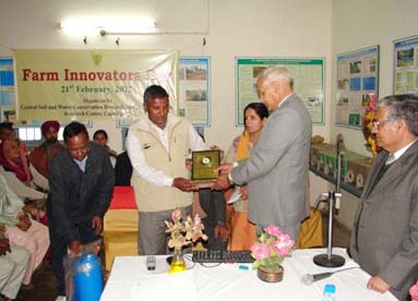
The centre also organizes various activities like celebration of farm innovators day, sensitization workshop cum stakeholders consultation, women’s day, vanmahotsava, science day, hindi divas etc, to communicate science to people. The farmers who have shown remarkable aptitude in adoption and dissemination of modern technologies of crop production are rewarded. Based on the feedback from the farmers and stake holders future research and development strategies are set by the centre.
Consultancy
 Conservation practices for sustainable production from rainfed areas of sub-montane region of Haryana Shivaliks (1999-2000) (8 research studies) sponsored by Director, Haryana Agriculture Department.
- Shivalik Watershed Development Agency for HP (1998-99) Sponsored by ISEP (Hills), HP, Solan.
- Evaluation study of NWDPRA, Haryana (1998-99), sponsored by Director, Deptt. of Agriculture (Haryana).
- Preparation of design details, estimates and provide technical guidance for installation of SOP to the department of soil Conservation, Punjab (1999-2000).
- Preparation of design details estimates and provide technical guidance for installation of SOP (1999-2000), to the Agriculture Deptt., Haryana.
- Impact evaluation study of watershed Raipur Rani, Distt. Panchkula, Haryana, implemented during IX Five Year Plan under NWDPRA scheme during 2004-05.
- Punjab forest consultancy project on soil and water conservation.
Field in which Consultancies are provided
- Planning and implementation of watershed management programme
- Impact evaluation of watershed development programme
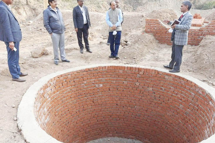
- Design of water harvesting structures
- Hydrological and sediment monitoring (SOP)
- Land use planning for degraded lands
- Participatory approach in watershed development works
- Torrents control and other mass erosion problem
- Soil and water quality assessment for agriculture
- Technical support to Punjab forest department for construction of soil and water conservation structures.
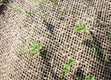
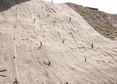
- Application of Geo-jute Technology on sloping land and Landslides
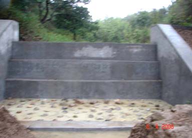
The Punjab Forest Department (PFD), through its Punjab Forestation Project with the assistance of Japanese Bank for International Co-operation (JBIC) has initiated an ambitious programme to rehabilitate the degraded Shivaliks through forestation and Soil and Water conservation measures. A model agreement for technical support was signed between CSWCRTI and department of forests, Punjab on 2.1.2007 in order to hire the services of consultants from CSWCRTI. According to terms and conditions technical support was to be provided for 33 samples of soil and water conservation structures (Silt retention dams, cement masonry structures, renovation of ponds, creation of new ponds and micro lift irrigation) with consultancy charges as Rs.23.61 lacs. Detailed survey was carried out for all structures. Design, drawing and estimate (only quantities) of all the structures were prepared and submitted to Chief Conservator of Forests. Technical support was provided for seven forest divisions (five territorial forest divisions as Ropar, Gadshankar, Hoshiarpur, Dasuya, Pathankot and two soil divisions as Mohali and Pathankot) of Shivalik circle. Although land use was same in all the divisions, however, rainfall and type of soils varied spatially.
All the structures were executed and supervised by the Forest Department. However, as and when asked technical supervision was provided by consultants and training was imparted to field staff at site.
